Enhancing Precision with Drone Inspection and Surveying
Drone inspection and surveying have revolutionized the way industries conduct assessments, offering unparalleled accuracy, efficiency, and cost-effectiveness. These unmanned aerial vehicles (UAVs) are equipped with high-resolution cameras, LiDAR sensors, and thermal imaging capabilities, making them ideal for inspecting infrastructure, mapping landscapes, and monitoring construction progress. By eliminating the need for manual inspections in hazardous environments, drones enhance safety while providing real-time data for informed decision-making.
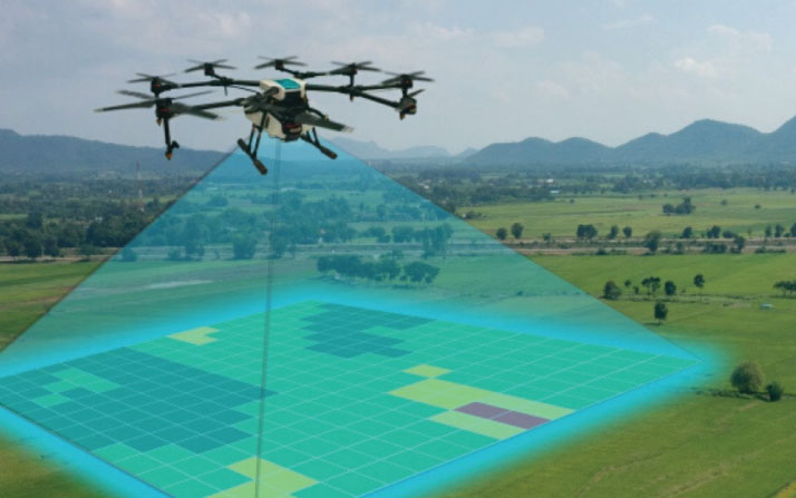
The versatility of drone technology allows it to be used across various industries, including construction, agriculture, real estate, and energy. Whether it’s monitoring crop health, assessing structural integrity, or creating 3D topographic maps, drones deliver detailed insights with speed and precision. Advanced software integration enables automated flight paths and data analysis, reducing human error and improving operational efficiency. As technology continues to evolve, drone inspections and surveys are set to become even more sophisticated, reshaping the future of remote assessments.